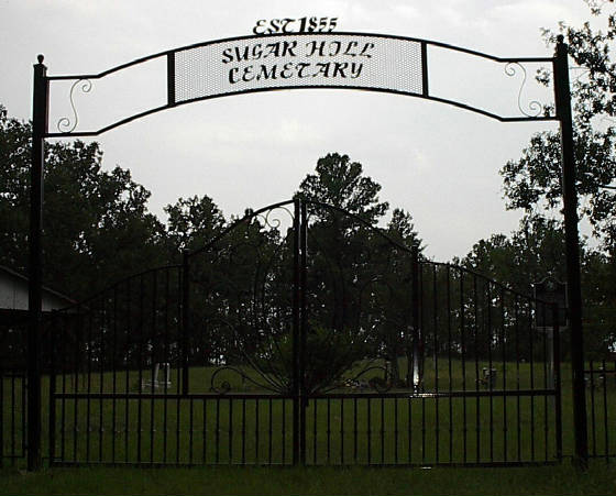
Directions to Sugar Hill Cemetery: These directions have changed and will be updated as soon as possible.
From Henderson: Take 43 east to FM 3231 (County Line Road), turn right on it and
follow it to CR 242. Turn left onto CR242 and follow it to where it dead ends at the Cemetery, which
is located on top of hill.
From Fair Play: Turn off U.S. 79 onto FM-124. Go 0.1 mi and turn left onto FM 1251.
Follow FM 1251 across the County Line RD (3231..the north bound has been rerouted) and watch for the new route 3231.
Follow it to CR 242. Turn right on 242 and follow it to the dead end at the cemetery.
1. Starting in FAIR PLAY, TX on FM-124 - go 0.1 mi
2. Turn on FM-1251 - go 4.5 mi
3. Turn
on COUNTY LINE RD (FM-3231) - go 8.6 mi
4. Continue to follow FM 3231 to CR 242. Follow CR 242 to where it dead
ends at the cemetery.